-
Why we love it
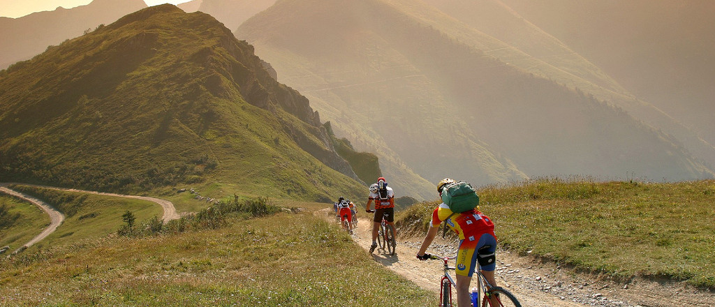
Because climbing and descending will surely challenge you, but then they will pay you back with stunning panoramas! - Travelling time: 2 days by MTB (10 and a half hours cycling)
- Difficulty: Hard
- Length: 121 km
- Total Elevation Gain: 2330 m
- Way to travel: By MTB or on foot
- Cost: 0 (+ notte in rifugio)
- Our Advice: Only if you're fit and in good shape.
The Via del Sale is an ancient route, which twists and turns among Piemonte, France and Liguria, where tradesmen once used to carry salt from the coast to the hinterland.
But actually, Via del Sale is not merely a single road, but a huge number of different deviations under this single name. Today we'd like to introduce you to the one linking the small city of Limone Piemonte, which used to be a strategic knot for salt commerce (now it is a well-known ski resort), to Ventimiglia, the mesmerizing city right in front of the Ligurian coast. We've already suggested you how to travel from Cuneo to Ventimiglia by train...but this time we only think about trekking and MTB!
A two-days adventure, among breathtaking views on the Alps and the sea... let's discover them together!
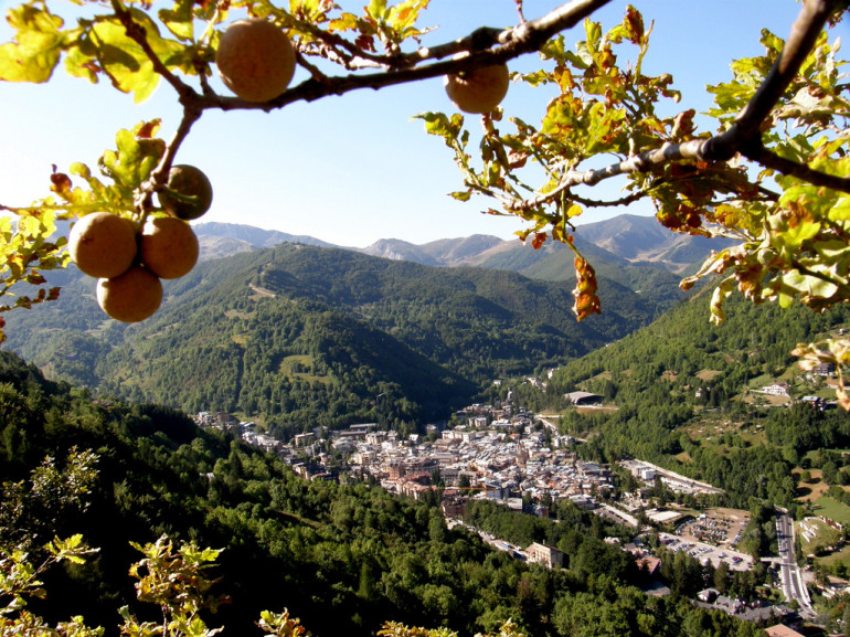
Day 1: from Limone Piemonte to Colla Melosa
Our starting point is Limone Piemonte's city centre (1009m), next stop Colle di Tenda, first on a paved road and then on an unpaved one. Here you'll find a majestic military fortress, something you should really pay a visit to. The complex was built back in the 19th century on the border between France and Italy, to protect Piedmont from any attack.
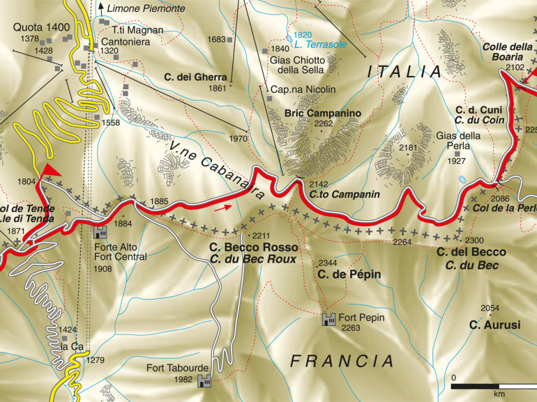
Leaving the fortress behind, we keep walking (or riding) towards Colle della Perla and Colle della Boaria, among a bushy rhododendrons' vegetation, typical shepherds' houses (named "gias"), as well as the beautiful lake Lago della Perla (2036m). The road gets here uneven, climbing is also very hard, as we've past 2000m!
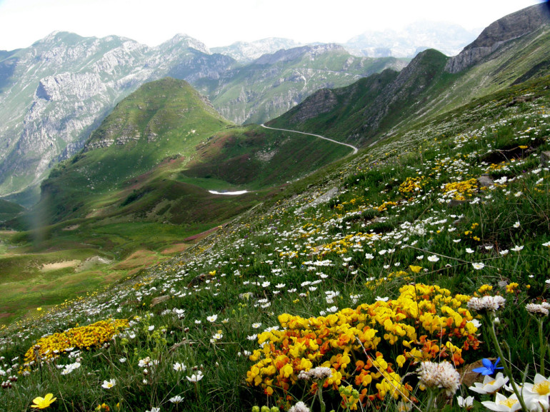
From Colle della Boaria we step into France, towards the Marguareis Mountains: here the landscape changes and becomes more rugged, among the Conca delle Carsene's steep rocks. We follow the military road with a 2274m height, until we reach Chevolail Castel, from where we go back descending in Italy, to Colle dei Signori and Passo delle Navette.
At the crossroad of Monesi-Tenda's military track, we turn right to reach Passo del Tanarello and Passo del Collardente, with many ups and downs legs. Here our final climb of today awaits us: final destination Col Bertrand (1960m) and Rifugio Allavena.
Day 2: from Colla Melosa to Ventimiglia
We leave rested and refreshed from the mountain hut, ready for a new exciting day on track! Where to? The sea, of course!
We follow the military road, with a 1900m height until we reach the military barracks (Caserme del Reggimento degli Alpini). We keep going up towards Rifugio Grai and the magnificent view on Monte Pietravecchia, and then back down to Monte Toraggio. Challenging walk for those who are trekking, as there is a fixed rope route. But the spectacular view on the Ligurian and Maritime Alps will surely make it worthy!
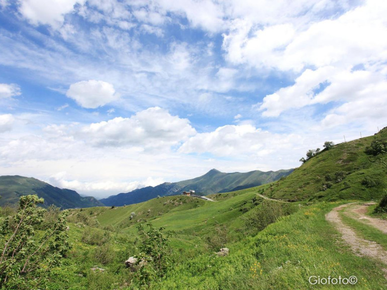
We head down towards Colle del Corvo, where the path would keep going towards France on a very hard and unpaved route. We suggest you stay on the Italian side going to Sella di Gouta and Margherita dei Boschi (on a paved road).
From here, there are 20km on a descending paved road and 25km more on an unpaved one to get to your long-awaited destination: Ventimiglia and its blue waters of the Ligurian sea!
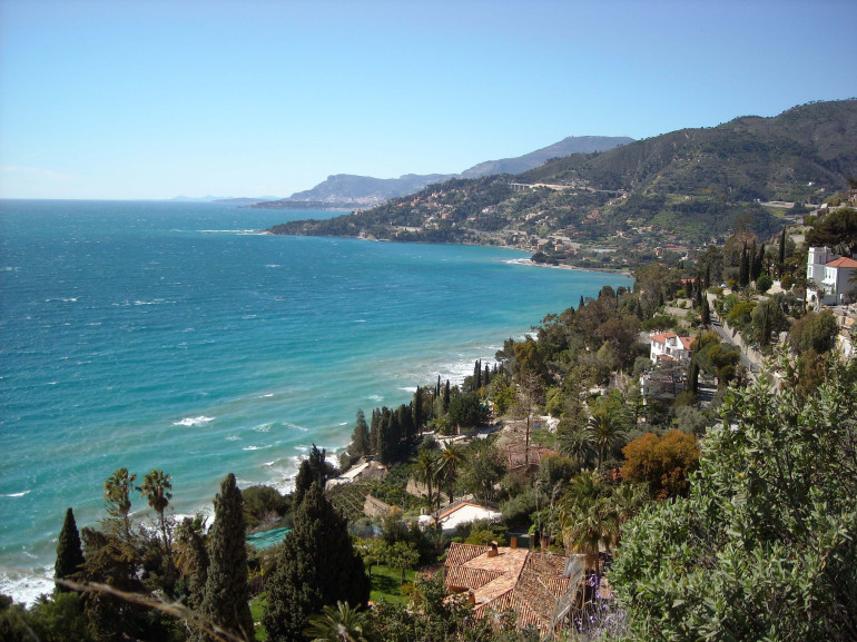
A long and challenging route for those who really love adventures! But the Via del Sale will pay all of your efforts back...after every climb and turn you'll find a stunning and unforgettable view on the Alps waiting for you! And then...you only have to dive in the crystaline waters of Ventimiglia.
Info: you can find more information about the route on the Alta Via del Sale website https://altaviadelsale.com/
