-
Why we love it
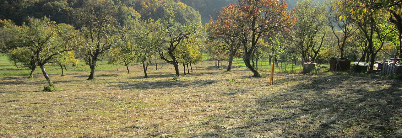
Two waterfalls, beautiful views of the Swabian Alb, orchards and the ruins of the castle - what more could you want? - Travelling time: 3h
- Difficulty: Hard
- Length: 9 km
- Total Elevation Gain: 393 m
- Way to travel: By foot
- Cost: 0
- Our Advice: Warning after or during the rains! The trails in the area and the limestone rocks can be very slippery.
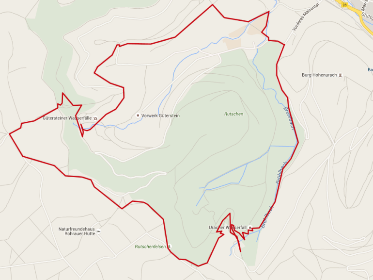
From Wanderparkplatz Maisental P23 or from the station, which is located at the foot of the castle hill, we walk along the meandering Brühl Bach. From distance you can already hear the sound of the waterfall of Uracher. We walk along a beautiful nature trail that now rises to the largest waterfall in the Swabian Alb. Finally, we come to a meadow, a perfect stop with its barbecue area.
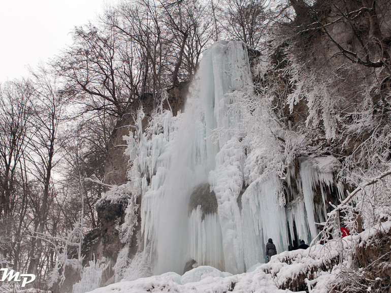
We continue uphill to the plateau.
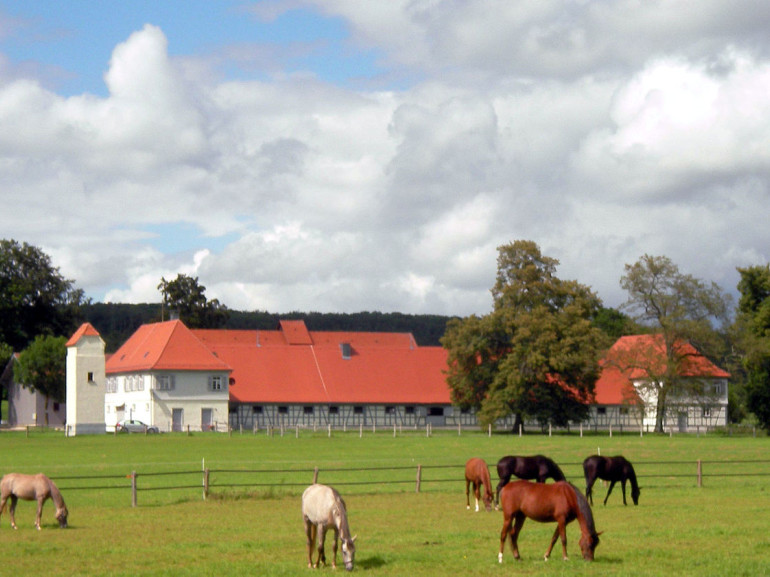
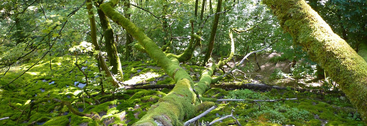
From here, a path of stone starts going through the woods, over the waterfall Steiner, at the foot of the slope. Now orchards Maisentals lead the way to Bad Urach.
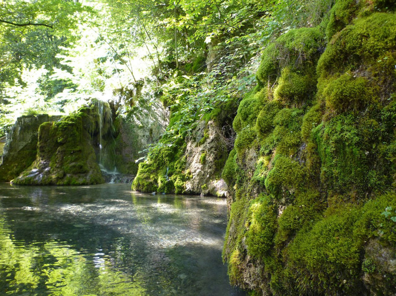
After another stretch in the forest we walk back to the starting point.
