Mountain Lander Italy
-
Why we love it
Because you can slowly enjoy the spectacular scenery of the Carnia using different forms of sustainable mobility. - Travelling time: 2 hours
- Difficulty: Family
- Length: 5 km
- Total Elevation Gain: 600 m
- Way to travel: By bike, on foot, on horseback, Nordic Walking
- Cost: 0
- Our Advice: To go in warmer weather to enjoy the natural wonders that characterize the path
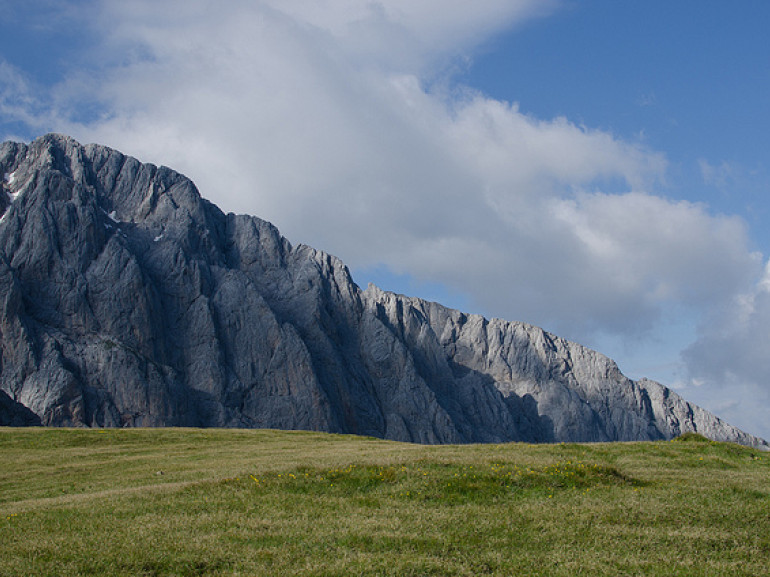
This route is probably the path most dear to me; as a child every year I go to these places in search of tranquility; surrounded by emerald green of the Carnia and fascinated by old trees lining the path to get to the viewpoint of the towers of the Lander; rocks that over the years, due to erosion, have become towers immersed in a surreal moonscape. The starting point is the church of S. Stefano Piano d'Arta; Here we go left and cross village casaletto up to the path of tistigneit (chestnut park), indicated by the sign.
After going through the forest you reach a wider road, continue up until you cross the stream Randice. From here you go up the hill; alternatively, after crossing the river you can go down to the left for about 200 meters until you find the right indicating a path that winds through a dense coniferous forest dominated by spruce, and that has been recently maintenance (June 2000) and provides parapets, staging points equipped as well as a series of signs offering naturalistic itinerary.
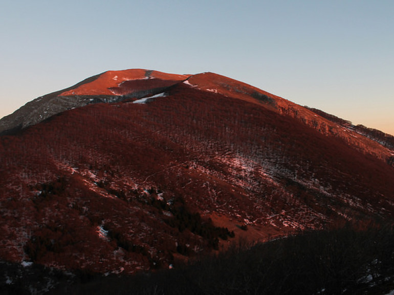
The slope, after a first leg more pronounced, continues milder and homogeneous. At times cloudy in the woods reveals the underlying Valley of But. Continue like this for a host of convenient bends until you come out on a grassy plateau with hut at an altitude of about 1150. You can see here the many species of butterflies that frequent the forest clearings.
A sign marks the continuation of the right nature trail. This leaves the path 408 which goes to the top of Mount Cucco, and soon reach the bivouac Lander, unguarded but well equipped.
Upstream of the bivouac the trail climbs again along a wide area of erosion and rising swiftly to the lookout with the Madonnina of the Lander share in 1300.
Here a sign explains in detail the genesis of the bizarre formations bell tower featuring troubled southern slopes of Mount Rivo and Mount Cucco.
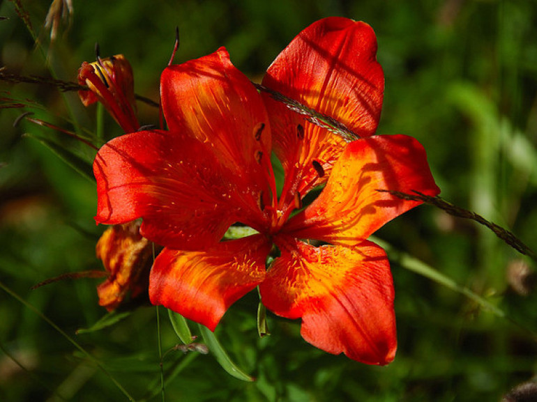
The climb from the bivouac Lander to this viewpoint was equipped with parapets and railings in the most exposed. In early summer you can see here the showy flowering red lily.
For the descent you will use the same itinerario.Solamente visiting these places you understand their beauty all the way, over the spectacle of nature, the peculiarity is precisely the transition from a natural landscape with alpine flora and fauna at a surreal lunar !! Visit it!!!
Author: Roberto De Rivo
Contest "Share your Green Adventure"
Cover photo: Landscape of Carnia, photo by Serafino Centenaro via Flickr