-
Why we love it
Sant'Agata de' Goti is a beautiful village and along the route you can admire beautiful landscapes of Benevento area - Travelling time: 2 hours and 30 minutes
- Difficulty: Medium
- Length: 6 km
- Total Elevation Gain: 667 m
- Way to travel: By foot
- Cost: 0 €
- Our Advice: The tour can be done in every season, it is important to bring water because it is not present along the way
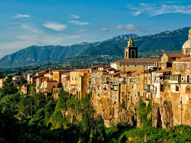
Today's excursion starts in an hamlet of Sant'Agata de' Goti, Laiano. Arriving in Sant'Agata is always a strong emotion: the old town is perched on the plateau of a tuff hill and stands between two ditches on the Riello and Martorano streams. The city is very old, it seems that it’s located on the site of the old Saticula, a Samnite city. It's nice to get lost in its narrow streets and find yourself in a sudden squares. You always want to stop to photograph the sloping roofs, the Romanesque and Gothic monuments, the towers and the many angles where the atmosphere is ancient: the time here has stopped. Everything around is green and even further there is a ring of mountains and hills, including the famous Taburno mount.
At the foot of this mountain the village of Laiano stands, it’s famous for the events related to the post-unitary brigandage. Hhere the bandits found refuge and now, from the forecourt of the church of St. Michael the Archangel, picturesque Via dei Briganti (the Road of Bandits) starts.
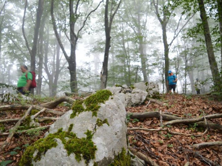
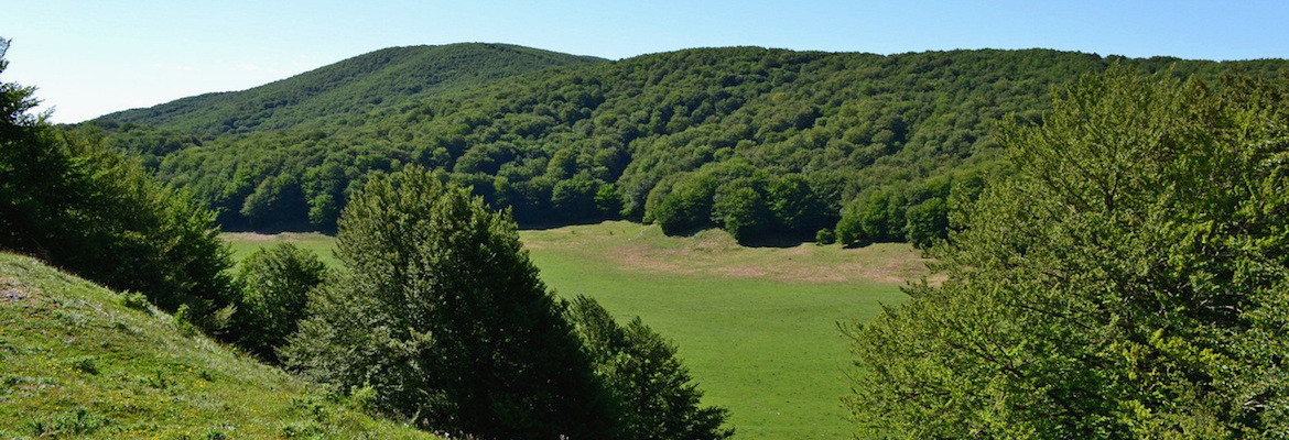
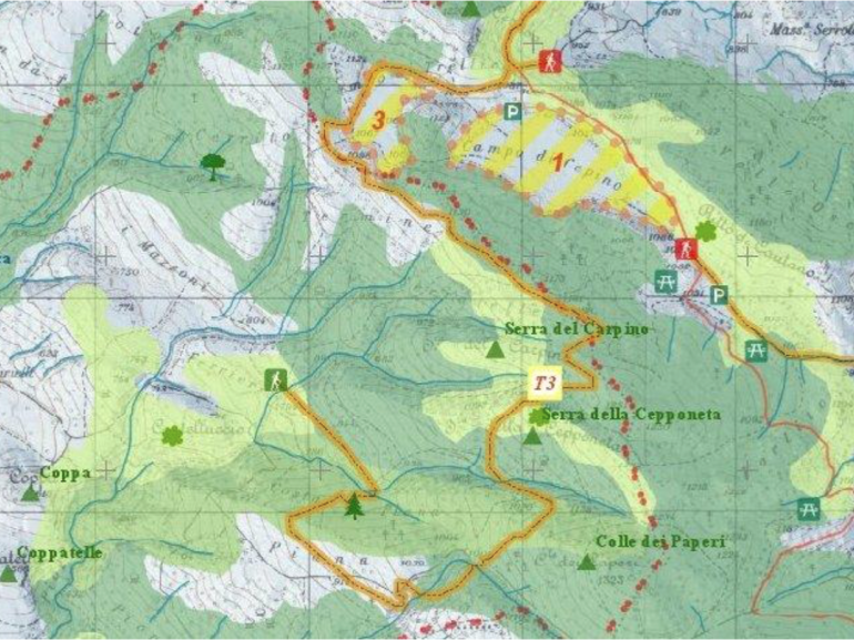
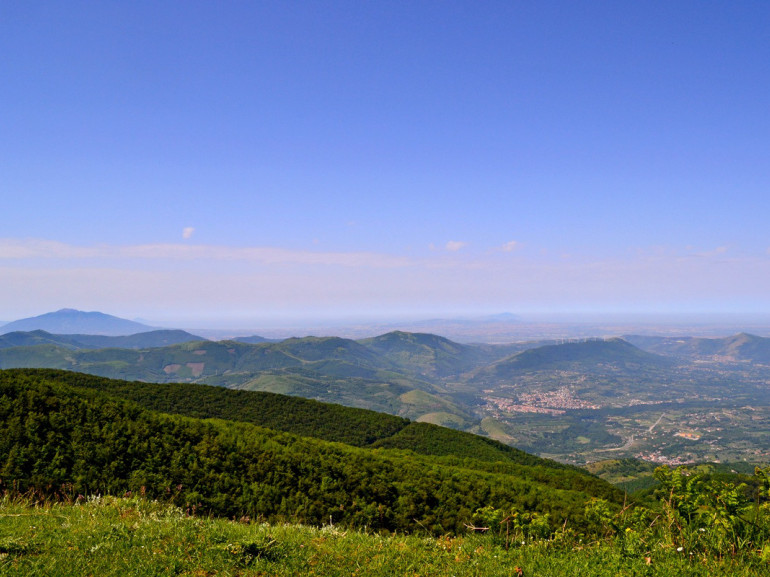
By the same spot our itinerary begins too, from here we take the road that goes right. We cross many secular olive groves and we can observe the Isclero valley and towards Moiano the ruins of the castle are easily distinguished. The road is paved for 2.5 km, until we reach a gate. Here you can eventually leave the car and proceed by foot. We are now in a beech forest, we are surrounded by greenery. We continue to climb up and reach a small relief: here is a kind of balcony from where you can observe the whole valley: it’s a breathtaking view. We continue along a stripped of vegetation ridge, we continue to admire the view and we reach the plateau Campo Trellica next to Campo Cepino, our destination.
Author: Chiara Marras
You might also like:
Portofino Natural Park
Bike tour on Parco Dune Costiere (Apulia)
