-
Why we love it
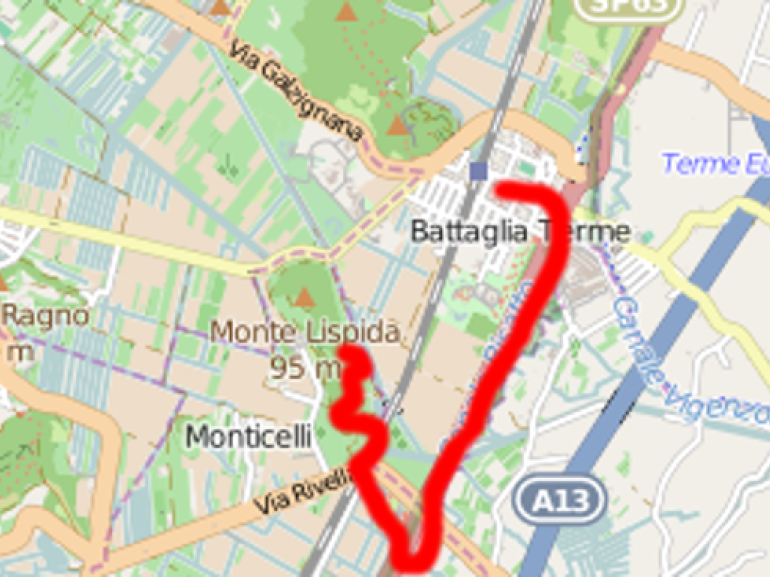
Appreciated the attempt to communicate the Venetian countryside a trekking path - Travelling time: 4 hours
- Difficulty: Easy
- Length: 12 km
- Total Elevation Gain: 11 m
- Way to travel: On foot
- Cost: 0
- Our Advice: To go preferably during spring and autumn

Location: mainly on country roads and paved roads with low traffic, river embankments
From which: Viale degli Alpini, Battaglia Terme, GPS coordinates 45.291901, 11.774527
Difficulty: easy, total length 12 km, total drop of about 11 m
Estimated Duration: half day
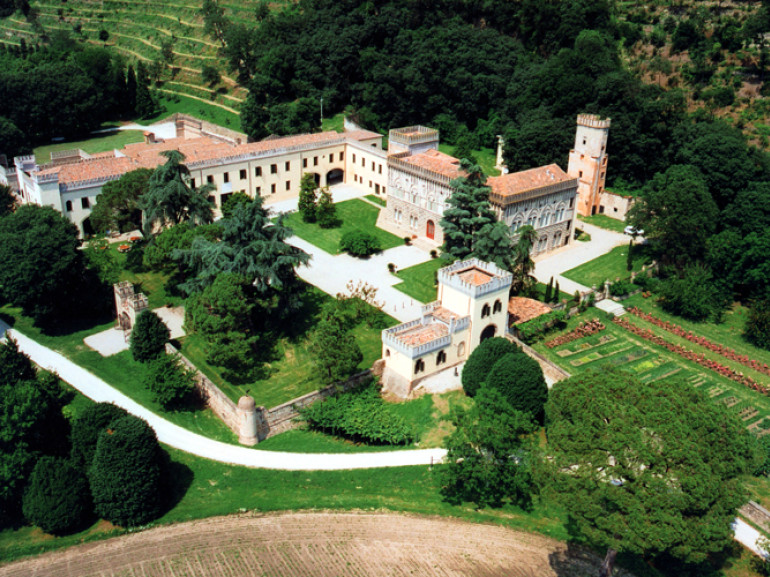
Points of interest include dewatering Reclamation Consortium, Lispida Castle, Valli Selvatiche, Canal-Bridge of Montaigne, Battaglia Terme, Arco di Mezzo, Museum of River Navigation
The itinerary wants to enhance the beauty of the Veneto countryside.

The route takes in the estate of the Lispida Castle, historic residence where important wineries. We are immersed in a rural landscape of enormous charm and soon reach the village of Monticelli which housed the homes of the workers who worked in the quarries of trachyte of Mount Lispida. The landscape itself is a popular museum. Soon we reach the banks of the Canale di Battaglia with a curious ancient artifact plumbing: the Canal Bridge Montaigne where we will stop to look around a bit 'around us and learn the history of the reclamation.

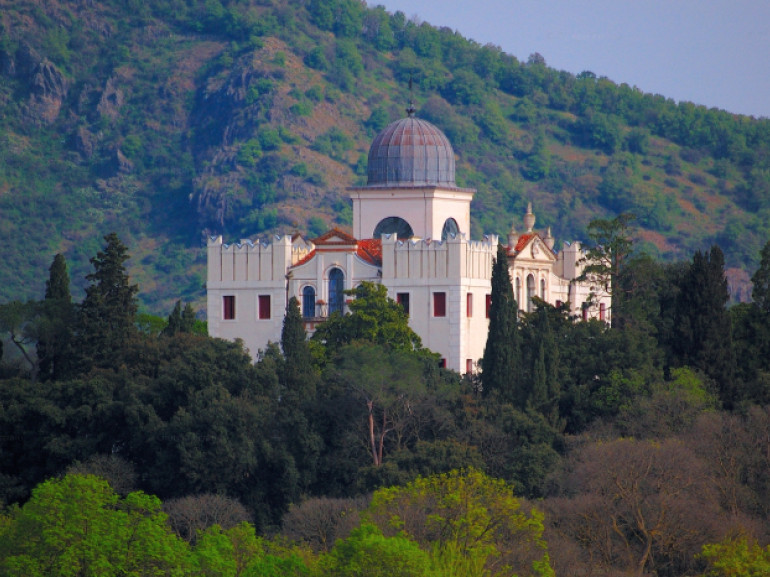
Then we walk always in plain, on the edge of the Valli Selvatiche, alongside of this very elegant Villa Selvatico-Sartori watching us with vanity top of the Hill of St. Helena. Once in Battaglia Terme, the coastal settlement and ancient river port, we will discover a museum very original and unique in Italy: the Museum of River Navigation. It wants to safeguard an overlooked and that is facing extinction, that of nautical tradition hinterland.
Author: Carmen Delia Gurinov
Contest "Share your green adventure"
Cover photo: Colli Euganei surrounded by fog, pictures of Luigi Mengato via Flickr
