-
Why we love it
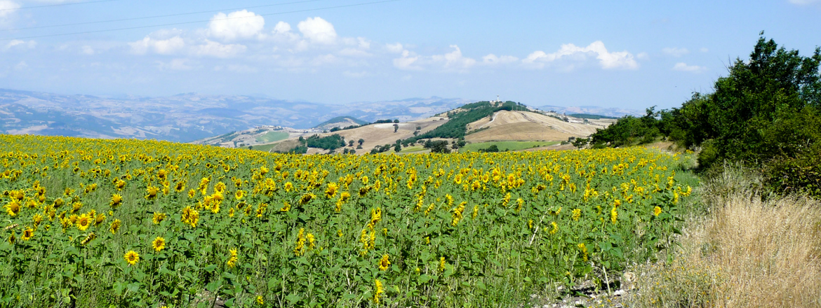
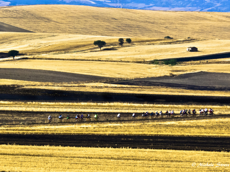
You will cross the south of Italy walking through cultivated fields, rural little churches, holy icons and small villages of the countryside... Tratturi are not just natural itineraries, but also a real historic and cultural heritage! - Travelling time: 3-5 days
- Difficulty: Family
- Length: 3100 km
- Total Elevation Gain: 1000 m
- Way to travel: On foot
- Cost: 0
- Our Advice: Rest in one of the farmhouses and little hotels that, deep in their story and tradition, will let you live the complete Tratturi experience!
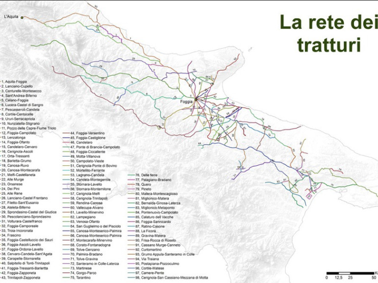
An itinerary that will bring you back in other times and take you to a place where there is just countryside. No car, no noises: just peace, silence, tranquillity and harmony with nature. There are a lot of paths that will make you feel this way, but the main ones, called "Regi Tratturi", are 5 and they all start from Abruzzo:
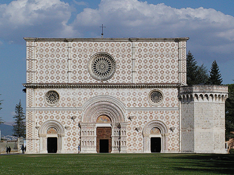
- Tratturo L’Aquila-Foggia or “Tratturo Magno”: the longest (244 km, divided into 9 stages), the most important and also the most “Adriatic” of them all. It links the south side of Gran Sasso to that of Sirente and Majella, until it gets to the wide pastures in "Tavoliere delle Puglie", giving you also the chance to touch the waters of the Adriatic Sea. Its path, a real historic voyage through Abruzzo, Molise and Puglia, leaves from Transumanza Park, next to "Basilica di Collemaggio dell’Aquila". It is mostly intact and boasts many little “tratturali” churches.
- Tratturo Centurelle-Montesecco: 155 km long, it is the only one starting and finishing in another Tratturo: it leaves directly from "Chiesa tratturale di S. Maria di Centurelli" (Civitaretenga, close to L’Aquila) on the L’Aquila-Foggia Tratturo and it ends on the same one at Montesecco upland, in Molise, after following a path that is more internal than Tratturo Magno. Around L’Aquila the path is really good maintained and rich in cultural, historic and wonderful landscapes. Indeed it originates in the well-known production area of the saffron DOP (Navelli), where you will also see a lot of small “tratturali” churches that boast a great historic importance. This is why the Tratturo is a solid evidence of the the excellent food and historic-architectural heritage of Abruzzo.
- Tratturo Celano- Foggia: 208 km long, it is the most inland one, which makes it is easier to reach the most important towns in the south of Italy. From it originate other six minor tratturi: Braccio Nunziatella-Stignano towards Regio Tratturo L’Aquila-Foggia, Tratturo Sant’Andrea-Biferno and Tratturello Castel del Giudice-Sprondasino towards Tratturo Ateleta-Biferno, Braccio Cortile-Centocelle, Tratturello Pescolanciano-Sprondasino and Tratturello di San Domenico towards Regio Tratturo Castel di Sangro-Lucera. The path starts from Celano, in Marsica, and arrives at "Tavoliere delle Puglie" ending in Foggia, after having crossed valleys and uplands towards South-East. The itinerary goes indeed in the heart of the Apennines and crosses the Cinquemiglia upland until it gets to the sanniti’s land, where you can visit the temple and italic parliament of Pietrabbondante. You can walk along the tratturo in 12 stages, but if you use the public transports you can also make it shorter: 1) Celano – Forca Caruso 2) Forca Caruso – Raiano 3) Raiano – Sulmona – Rocca Pia 4) Rocca Pia – Roccaraso 5) Roccaraso – San Pietro Avellana 6) San Pietro Avellana – Pietrabbondante 7) Pietrabbondante – Salcito 8) Salcito – Castelbottaccio 9) Castelbottaccio Ripabottoni 10) Ripabottoni – San Giuliano di Puglia 11) San Giuliano di Puglia – Valle del Fortore 12) Valle del Fortore – Foggia.
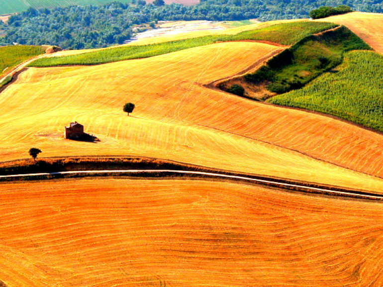
- Tratturo Pescasseroli-Candela: 221 km long, it starts in Pescasseroli, in the middle of the Abruzzo Lazio and Molise National Park, and reaches "Tavoliere delle Puglie" ending in Candela, after having walked through valleys and uplands towards the south-east, mostly following the Apennines. You will go through areas that are very different in morphology, geology, climate, vegetation, flora, fauna and use of the territory. You will start from an height of more than 1000 m, between the white calcareous rocky mountains of the Abruzzo, Lazio and Molise National Park, go through majestic beech trees and slowly descend the Sangro Valley on the Adriatic side. In the Abruzzo, Lazio and Molise National Park you will find a rich fauna: from wolves and deers to the “marsicano” brown bear and the Abruzzo chamois. Besides this, the Tratturo passes also through some of the Sites of Community Importance that are part of Rete Natura 2000, which means that are protected on an European level due to their important contribute to maintain the biodiversity in the area.
- Tratturo Castel di Sangro –Lucera: 127 km long, it is the briefest and the most intact one. It starts from Taverna della Zittola, right on the boundary between Abruzzo and Molise, and it continues towards the same direction of the Pescasseroli-Candela itinerary, but closer to the mountains. In 2012 “AttraversoilMolise” association explored and mapped again the itinerary with the "Tratturocoast2coast” project, creating the first organised Walk along a Regio Tratturo, named: “Il Cammino Sulle Orme dei Sanniti”, divided into 8 stages: from Alfedena, crossing the area of Montalto di Rionero, Forlì del Sannio, Roccasicura, Carovilli, Pescolanciano, Civitanova del Sannio, Duronia, Torella del Sannio, Castropignano, Ripalimosani, Campodipietra, Toro, Pietracatella, San Marco la Catola e Motta Montecorvino, up to Lucera.
Inspiration: leviedeitratturi.com
