Lastè delle Sute
-
Why we love it
for the wild and isolated place, perfect to hear the sound of the forest and the silence of peaks. For the adventure in the final part where the path makes its way through slabs of porphyry where only a few brave flowers and moss find their dwelling - Travelling time: 5-6 hours
- Difficulty: Medium
- Length: 10 km
- Total Elevation Gain: 1100 m
- Way to travel: on foot
- Cost: free
- Our Advice: this is the perfect itinerary for all who like mountains in autumn. Especially in September and October you will be impressed by beautiful colors
Lagorai – cima Lastè delle Sute
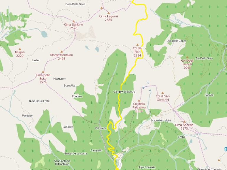
The area covered by this mountain group extends between Fiemme Valley (in the north), the Pale di San Martino group (in the west part) and the Valsugana (in the south). It is surely secondary if compared with other mountain groups of Trentino, not for its beauty, but mainly because here there are less famous peaks than in the Dolomites which attract every year lot of climbers and hikers. For this reason this is still a wild land. In fact, if you'll decide to walk along this path, don't be surprised if you will meet only a few other people walking around!
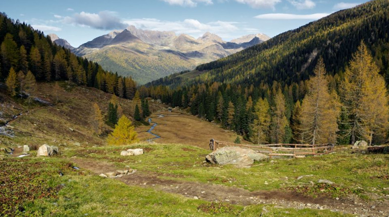
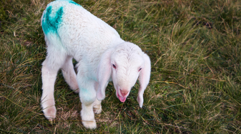
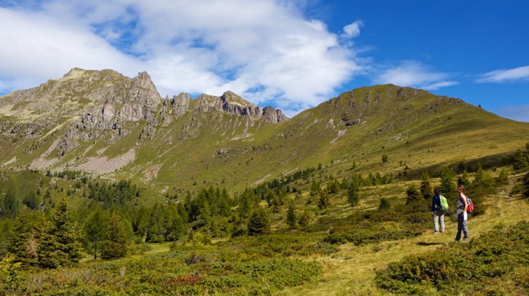
The itinerary starts from Campelle Valley, reached crossing the small village of Pieve Tesino. Put on your hiking boots near Conseria bridge and then take the forestry route which leads to Valsorda Prima Hut. The wide fields all around are perfect grazing for cows and sheeps.
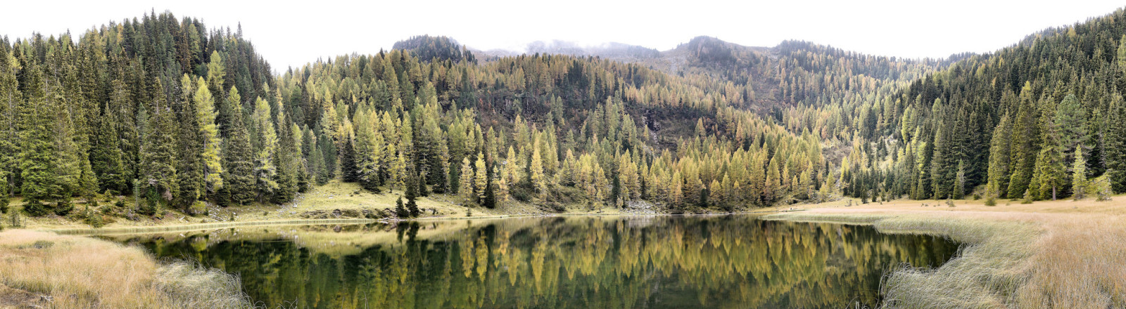
From the hut, the path climbs up to the Val Cion pass (2072 m). It runs through a fir forest and blueberry bushes. If you are that lucky to arrive here in the proper season, bring with you a basket or get ready for a great feast! From this windy crossroad, the Dolomites of Fassa and Fiemme Valley are well visible at the horizon.
Form the pass, follow the path E316 that continues along the slope of Col dei Fiori. From this point Cima d'Asta can be perfectly seen, on the other side of the valley. This is the highest peak of Lagorai, with its 2847m, made of granite.
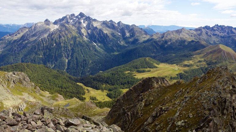
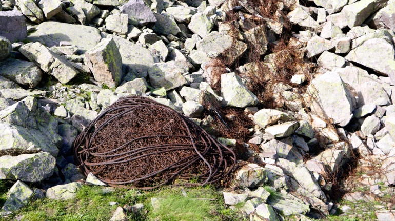
A curvy path goes on through rocks between Lagorai end Lasté de Sute peaks. The landscape changes, and the rugged face of Lagorai appears. Historically this place has been involved in the First World War: trenches and caves have been dig and many mountain tops have been wrapped around with barbed wire. Traces are still well visible and the mountain remains as a silent witness of pain and hustle.
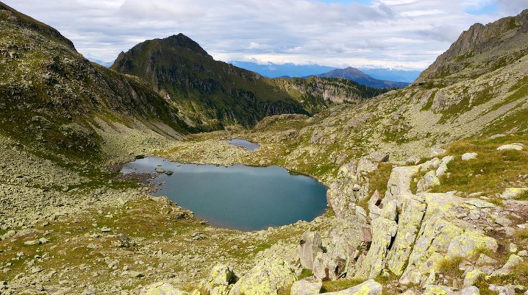
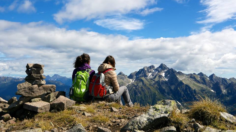
The path reaches now the Forcella Lagorai (2368m) from which a great view on Lagorai Lakes can be enjoyed. These two small pools have a really blue water. From this place follow the path E321 on the right side towards the top of the mountain.
The path turns into a walkway of porphyry slabs. It climbs over a rocky wall, equipped with ladders and wire, installed to facilitate the passage to the other side of the mountain, where the trail continues below the crest.
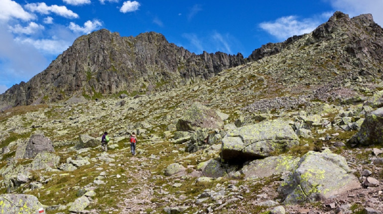
The gaze gets lost on a lunar landscape: light gray rocks cover the whole slope and it is not hard to lose the way, especially if there is fog. Anyway the path is well marked with red circles and pyramids made of stones. It is the same path created during the war: it passes near the remains of trenches and terraces, from which to observe the valley and finally reaches the rocky summit.
The way back follows the same route on the other way round. Thanks to the centrality of the location reached this is also a good point to continue a more-days trip on other routes, if planned.
Author: Anita Cason
Cover image by photolupi via Flickr