-
Why we love it
An important and historical trail. Every stop is characterized by photos and boards where you can read the most important historical events happened there. - Travelling time:
- Difficulty: Easy
- Length: 160 km
- Total Elevation Gain: 34 m
- Way to travel: Bike, S/U-Bahn
- Cost: 0
- Our Advice:
The Berliner Mauerweg was built between 2002 and 2006. The route traces the way through the old trail of the Berlin Wall.
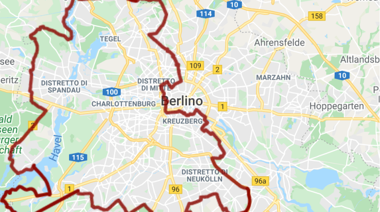
The itinerary of Berlin Wall is 160 Km long, it's divided into 3 different routes, let's discover them!
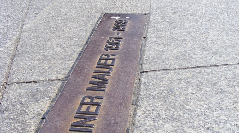
Route 1 (50 Km)
This route crosses the city of Berlin. It starts from Hermsdorf to Schönefeld. Along the trail there are colorful cherry trees, which make everything more beautiful. Moreover, you will discover memorials and old tunnels. They were mainly exploited not only by citizens, but also by enemy spies (USA).

Route 2 (45 Km)
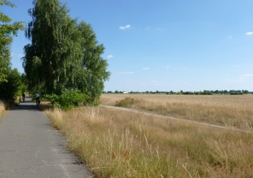
The second route traces the Southern part of Berlin. It begins at Schönefeld ending at Griebnitzsee. The itinerary will lead you nearby the countryside. Along the way, there are also some parks and picnic areas, where you can rest and regenerate yourself.
Route 3 (65 Km)
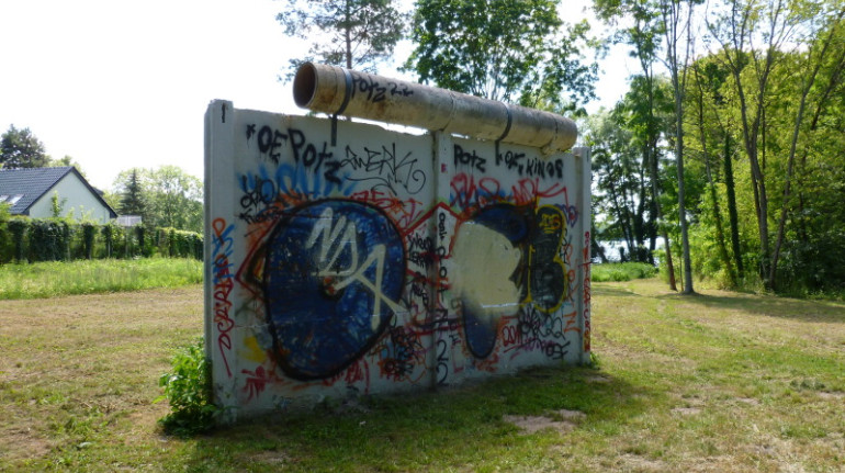
This last itinerary of Berliner Mauerwg crosses the Northwestern part of the city. It starts from Gribnitzsee to Hermsdorf. One of the most important stops along this trail is the 'Haus der Wannsee Konferenz'. In 1942 in this palace, the government planned the final annihilation against European Jews. This trail tells a lot about the cruelty of those years!
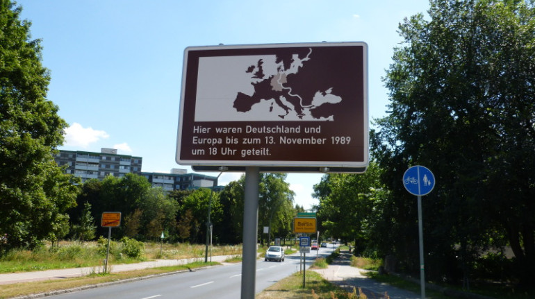
This trail will lead you back in time. You will find out the history of the Berlin Wall, which is full of cruelty and pain. The Berlin wall divided peoples. Although it doesn't exist anymore, it has marked humankind forever.
Cover image: photo by Fortepan, via Wikimedia
Author: Francesca Palmitessa
