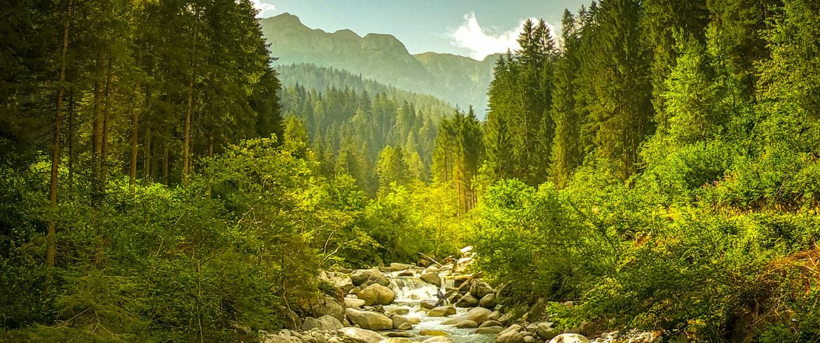
Discover fossils, breathtaking landscapes, and unique natural wonders by following this six-stage hiking itinerary through the Brenta Dolomites, a UNESCO World Heritage Site.
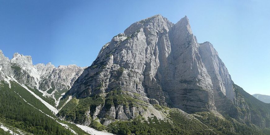
The Dolomites, declared a UNESCO World Heritage Site on June 26, 2009, represent an invaluable treasure both for their extraordinary scenic beauty and their scientific significance in geology and geomorphology. These unique mountains hold evidence of ancient terrestrial environments in their rocks, as well as exceptional traces of life and its evolution over the past 280 million years.
These mountains are a true natural archive, where the rocks tell the story of the last 280 million years of our planet. Geologists from all over the world have explored the Dolomites, discovering fossil traces of ancient environments and witnessing the evolution of life on Earth.
The Brenta Dolomites
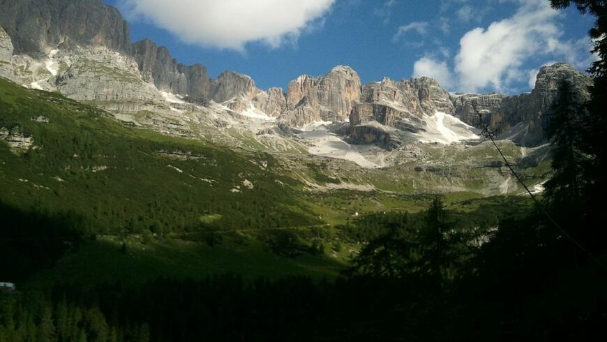
Located in the western part of the Dolomite region, the Brenta Dolomites are an island of dolomite with unique characteristics. These mountains, protected by the Adamello Brenta Nature Park—officially established in 1988 and covering an area of over 62,000 hectares—are formed by the Adamello-Presanella granite massif, which includes large glaciers.
Amidst pristine forests and majestic peaks, are you ready to set off to discover the Brenta Dolomites? Here is a six-stage hiking itinerary, from San Lorenzo in Banale to Tuenno, guiding us through the geology and history of the Earth, revealing the wonders of the Dolomites.
A 6-Stage Itinerary to Discover the Brenta Dolomites
Stage 1: From San Lorenzo in Banale to Rifugio al Cacciatore
- Length: 6.9 km
- Elevation Gain/Loss: +1125 m / -105 m
- Duration: 3-4 hours
The hiking itinerary starts in San Lorenzo in Banale, following a paved road to Ristoro Dolomiti di Brenta. From here, a path descends to the Ambiez Stream and then climbs steeply to the Masi di Dengolo, the first geostop. Continuing, the route becomes less steep until reaching Malga Senaso di Sotto, from where Rifugio al Cacciatore is reached. Near the refuge, there is the Val d’Ambiez fossil site, which can be reached in about 10 minutes on foot.
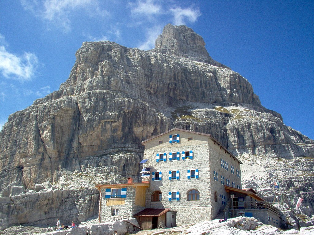
Stage 2: From Rifugio al Cacciatore to Rifugio Tosa-Pedrotti
- Length: 9.1 km
- Elevation Gain/Loss: +1045 m / -385 m
- Duration: 4-5 hours
From Rifugio al Cacciatore, path no. 325 leads through the Alpe Prato meadows to Rifugio Agostini. From here, path no. 320 continues towards Rifugio Tosa-Pedrotti, crossing interesting geostops and offering panoramic views of Cima Ceda and the Pozza Tramontana basin. Ignoring various deviations, Rifugio Tosa-Pedrotti is finally reached.
Stage 3: From Rifugio Tosa-Pedrotti to Rifugio Croz dell’Altissimo
- Length: 7.2 km
- Elevation Gain/Loss: +155 m / -1195 m
- Duration: 3-4 hours
From Rifugio Tosa-Pedrotti, a short climb leads to Bocca di Brenta, a historic pass between the eastern and western slopes of the Brenta Group. Returning on your steps, follow path no. 319 downhill to Rifugio Selvata and then path no. 340 to Rifugio Croz dell’Altissimo.
Stage 4: From Rifugio Croz dell’Altissimo to Lago di Tovel
- Length: 16.9 km
- Elevation Gain/Loss: +1130 m / -1390 m
- Duration: 7-8 hours
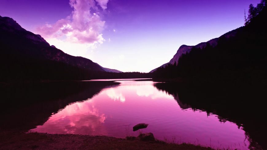
From Rifugio Croz dell’Altissimo, path no. 322 leads to Passo del Clamer, the most challenging point of the stage. From here, descend to Malga Spora and continue to Passo della Gaiarda. Following various paths, you finally arrive at Lago di Tovel, one of the natural gems of the Dolomites.
Stage 5: From Lago di Tovel to Rifugio Peller
- Length: 12.6 km
- Elevation Gain/Loss: +1325 m / -520 m
- Duration: 5-6 hours
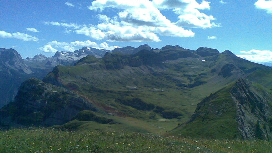
From Lago di Tovel, take path no. 309 to Pozza delle Stelle and then to Malga Tuena. From here, path no. 311 leads to Passo di Val Formiga and crosses Pian de la Nana, a vast plateau rich in interesting geostops. Continuing, Rifugio Peller is reached.
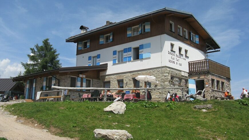
Stage 6: From Rifugio Peller to Tuenno
- Length: 10.0 km
- Elevation Gain/Loss: +90 m / -1310 m
- Duration: 3-4 hours
From Rifugio Peller, follow the dirt road from the previous day to Lago Dorigat, then descend to Tuenno, crossing various geostops and enjoying breathtaking views of the Val di Non apple orchards.
This itinerary through the Brenta Dolomites offers a unique opportunity to explore the geology and history of the Alpine landscape, an extraordinary territory that continues to reveal the secrets of Earth’s past.
The Dolomites are not only a scenic wonder but also an open-air laboratory for geologists and nature enthusiasts. Their conservation and enhancement through geo-tourism are essential to maintaining this geological heritage for future generations.
Eco-Friendly Stay
Want to experience an eco-friendly holiday in the Brenta Dolomites?
Stay at the Adamello Brenta Quality Park accommodations.
More information to plan your itinerary:
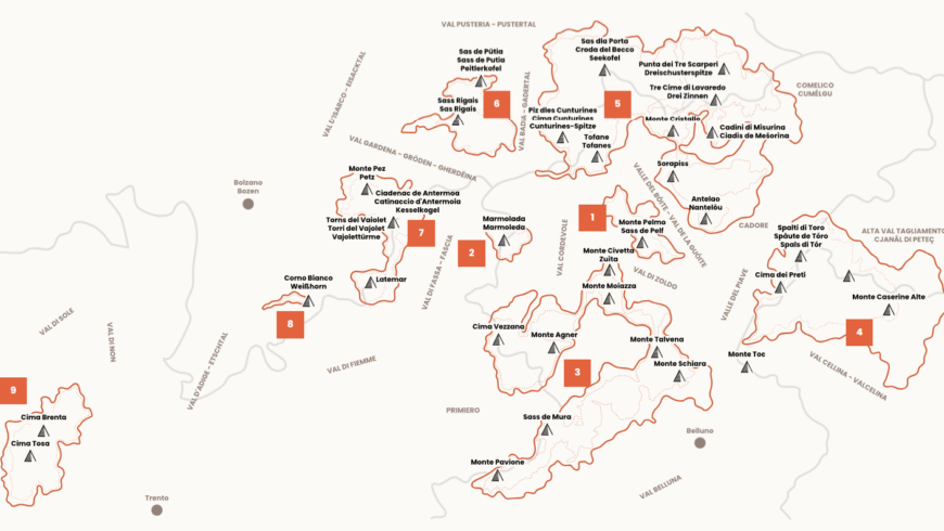
- Map of the UNESCO Heritage Dolomite Itineraries
- Discover the unique landscapes of the Dolomites with this virtual museum: in the mountains as if at home.


