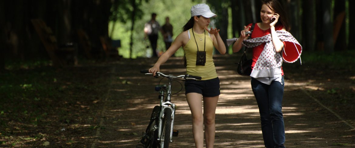
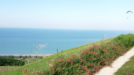
Is cycling your passion? Follow the Ciclovie dei Parchi and discover 10 bike itineraries among the most beautiful parks of Emilia Romangna.
“A bike ride is an escape from sadness” – James E. Starrs.
Cycling is your biggest passion? And you really like doing it in the middle of unspoilt nature? You’re in the right place. Discover our itinerary that will introduce you to the Ciclovie dei Parchi, 10 bike routes from Piacentino to Romagna.
The routes of Ciclovie dei Parchi are accessible and suitable for everyone; each stage has different degree of difficulty and their duration varies. So, in order to choose the stage that best suits your needs, consult the technical sheet. As a matter of fact, it will give you information about the height, the difficulty, and the length of each route.
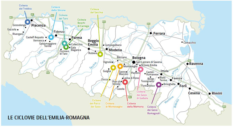
Let’s discover the 10 itineraries one by one!
1. Ciclovia dello Stirone
Parco Regionale dello Stirone e del Piacenziano (Piacenza)
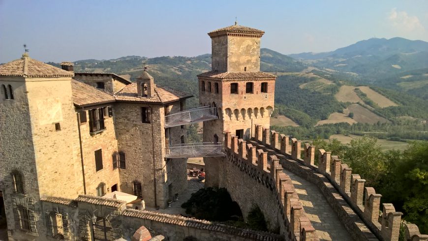
The landscape is composed of stretches of fields surrounding the heights of Vigoleno, in the province of Piacenza. The route also passes through the Stirone, embedded in steep cliffs, and decorated with beautiful poplars and willows. The colorful flight of the bee-eaters makes this bike ride unique.
Perfect for: those who love to discover fossils, small villages and ancient castles
Length: 42 km – Altitude difference: 100m
Walking time: 1 day
Difficulty level: medium
2. Ciclovia del Taro
Parco Regionale fluviale del Taro
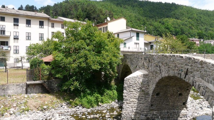
This path is composed of two different routes. The first route is on flat ground and it is quite simple. The second path follows the Taro and other channels. This path is more adventurous, with its environment composed of woods, stones and groves.
Perfect for: a bike day with your beloved ones
Length: 6 or 20 km, according to which path you choose – Altitude difference: not so much
Walking time: 1 day
Difficulty level: medium
Maps and Altrimetry
3. Ciclovia boschi di Carrega
Parco Regionale Boschi di Carrega
This route starts from the station of Collechio and, after crossing the village, reaches the entrance of the park. What’s more, following an asphalt road you can easily reach the Casino dei Boschi, the ancient residence of the Dukes of Parma.
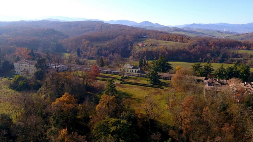
Casino dei Boschi – Foto via Montecoppe
Perfect for: those who are into garden and nature
Length: 20 km
Walking time: half a day
Difficulty level: not so high if you follow the main path
Maps and Altrimetry
4. Ciclovia del Parco dei Sassi
Parco Regionale dei Sassi di Roccamalatina
Very challenging itinerary, for its height level and for its length. The “Sassi” are the main part of this route. They are very important for their fauna and botanical peculiarities: as a matter of fact, in some natural cavities it is possible to find rare birds such as the peregrine falcon.
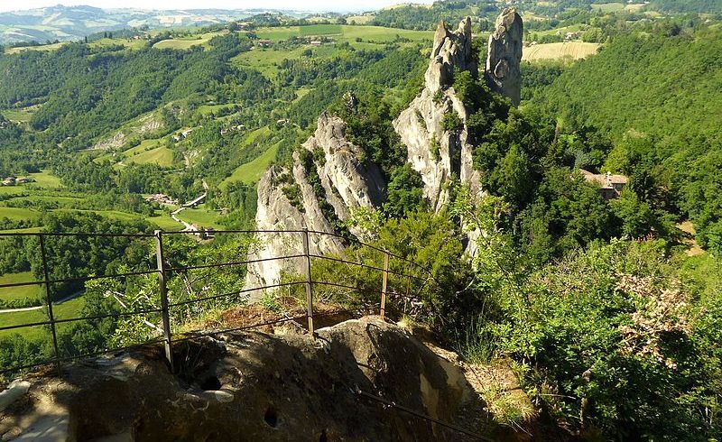
Perfect for: those who are into garden and nature
Length: 20 km
Walking time: half a day
Difficulty level: not so high if you follow the main path
5. Ciclovia dei Gessi di Gaibola
Sassi di Roccamalatina Regional Park
This hilly itinerary doesn’t last for long, but it has very steep climbs. It starts from the urban environment and then it reaches the gates of the park. In addition, here you can find an uncommon rock called the Gypsum.
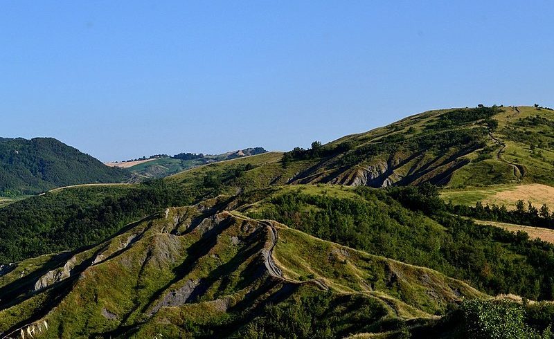
Perfect for: those who love adventures in the wood
Length: 50 km
Walking time: one day
Difficulty level: really high
6. Ciclovia della Memoria
Monte Sole Regional Park
Here, you can find many landscapes with panoramic views of the ridge Reno and also, the ridge Setta. Hence, here the botanical features are several: if you’re lucky enough, you’ll have the chance to see herds of ungulates and also, some wolves. In addition, you should remember that this is a memorial park which recalls the Italian massacre by the Nazis against some civilians.
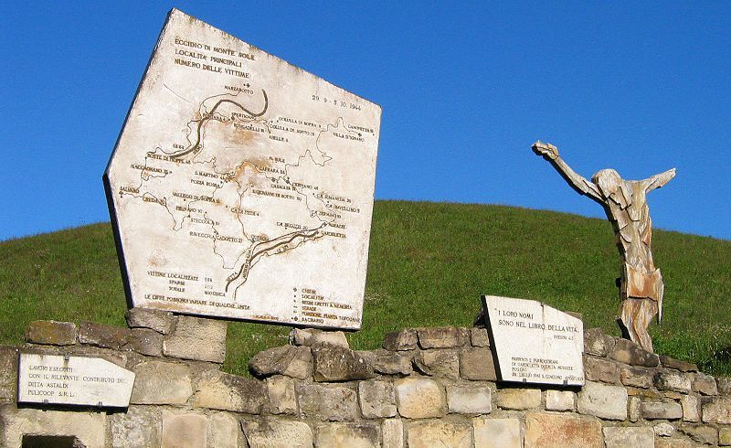
Perfect for: those who are interested in our history and want to have a look at this beautiful memorial.
Length: 25 km
Walking time: one day
Difficulty level: from medium to high
7. Ciclovia di Monteveglio
Abbazia di Moneveglio Regional Park
The main part of this itinerary is the Santa Maria abbey, which gave identity to this protected area. As a matter of fact, it is a Romanesque church which still has its original architecture. Also, this beautiful abbey is surrounded by a frame of cypresses.
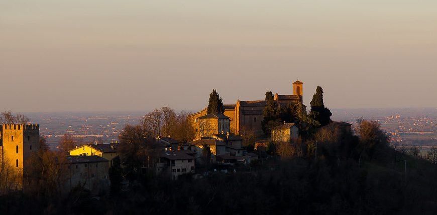
Perfect for: people who want to discover ancient abbeys
Length: 27 km
Walking time: half a day
Difficulty level: easy
8. Ciclovia dei Gessi
Vena del Gesso romagola Regional Park
This hike is not easy, due to its differences of height. However, here you can find the Gypsum, a particular type of rock and also a large vegetal expense which has extremely particular features. In fact, it is Mediterranean on the southern part and wooded on the northern one.
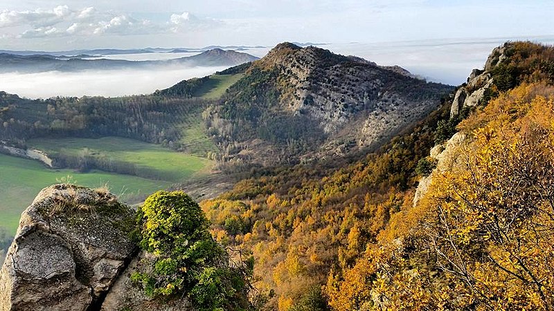
Perfect for: adventurous people who are ready to push themselves to their limits
Length: 30 km
Walking time: one day
Difficulty level: high if you want to follow the whole path
9. Ciclovia del Trebbia
Trebbia Regional Park
This route of Ciclovie dei Parchi is peculiar for its diversity of environments; it starts from the historic center of Piacenza, so you’ll ride between Romanesque churches and large squares. Than, you reach Case Buschi, where you will have a view of the bell tower of the St. Patrick Church.
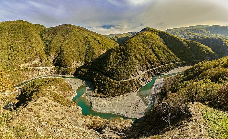
Perfect for: an adventure with your mountain bike
Length: 50 km
Walking time: one day
Difficulty level: from medium to high
10. Ciclovia del Secchia
Riserva naturale orientata Cassa di espansione del fiume Secchia
The starting point is the center of Modena (where you can see the beautiful Piazza Grande, which is a World Heritage Site). Then, following the bike routes and some narrow streets you can reach an important destination: the so called ‘Cassa di Espansione del fiume Secchia’.
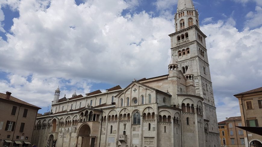
Perfect for: families who want to discover Modena
Length: 25 km
Walking time: one day
Difficulty level: low
Which path did you enjoy the most? From which one of the 10 Ciclovie dei Parchi would you like to start this beautiful route? We know that cycling in nature always gives you great emotions so, what are you waiting for?
Cover photo: photo by Pxhere
