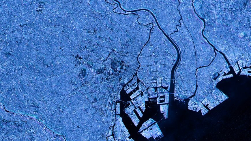
In connection with the increasing scale of anthropogenic impact on nature, the relevance of objective ecological monitoring increases. The use of satellite imagery, in this case, makes it possible to get full coverage of a vast territory and conduct environmental assessment not only within the limits of individual observation points but also in any selected area, regardless of its remoteness and accessibility from the ground. More so, satellite imagery is available for different years, enabling change detection by comparing pictures of the same area through a particular time period.
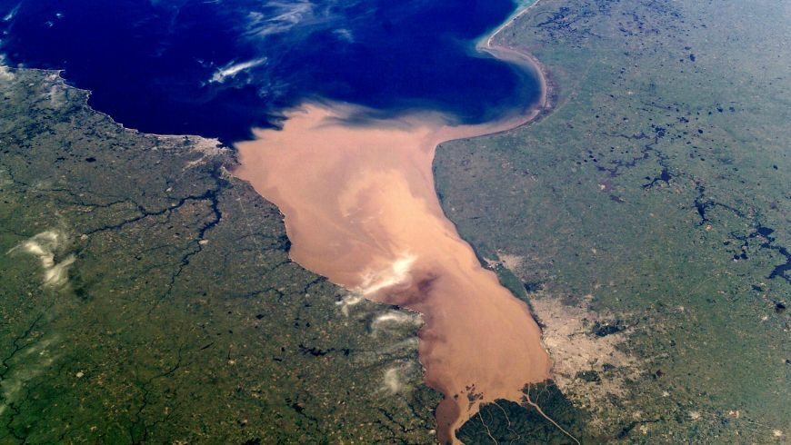
Satellite imagery also comes in different resolutions. For instance, high-resolution images are used for monitoring local issues that require more object detailing, where middle and low-resolution images are used for larger areas observation to see the whole picture. Satellite images can also be taken in the visible part of the electromagnetic spectrum as well as in the ultraviolet, infrared, and other parts of the spectrum, allowing for seeing different details and nuances, depending on the object of research. Thanks to satellites, it is possible to receive data on weather patterns, floods, fires, moisture levels, and many other phenomena and parameters.
Today, the market offers different software that leverages satellite imagery analytics to help solve global issues on Earth, including carbon emissions, water shortage, soil degradation, etc. For example, different crop monitoring systems like EOS Crop Monitoring enable agriculture industry players to increase yields and profits while applying sustainable farming practices. But before we move on to such solutions, let’s see what exactly observation from space can offer for tackling the most pressing issues on our planet.
The Power of Environmental Satellites
Satellites are perfect tools for not just observing the global picture but also for detecting features and events hidden or unseen to the human eye. And one of the biggest set of benefits they offer concerns environmental monitoring. The tasks of space environmental monitoring solved in practice include:
- Detection of illegal storage of solid domestic waste, industrial waste
- Monitoring and mapping of subsoil infrastructure
- Study of the dynamics of negative processes in mining areas
- Detection and mapping of areas of soil contamination caused by industrial and agricultural wastes
- Land management in agriculture (crop monitoring, farmland mapping, etc)
- Monitoring of land degradation processes (erosion, salinization, swamping, etc);
- Water pollution tracking
- Monitoring of environmentally hazardous facilities (industrial enterprises, mining facilities, wastewater treatment plants, power and transportation facilities)
- Detection and monitoring of oil spills
- Deforestation and its causes detection and monitoring.
Satellites in Farm and Forest Management
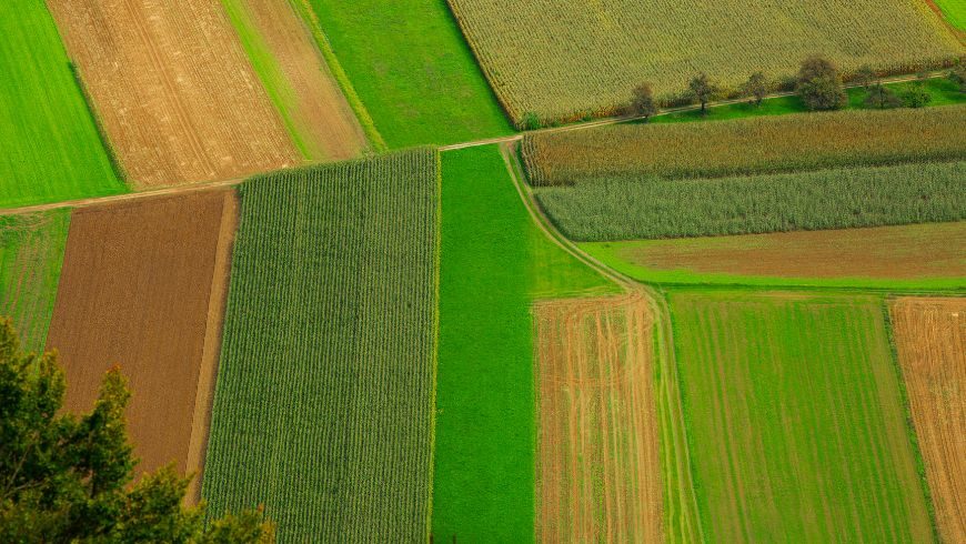
One of the most pressing environmental issues farming activity causes is water pollution. Over 80% of agricultural nitrogen gets into water systems, the European Commission’s report states. The solution to this problem could be reduction of fertilizer use. But how do farmers do so without losing significantly in yields and profit?
The answer is satellite crop monitoring. With the development of space tech and AI algorithms for satellite imagery analytics, it became possible to extract various types of data for remote crop management, including VRA approach implementation.
For example, EOS Crop Monitoring software enables data-driven decision-making to agricultural industry players. Thanks to using advanced AI algorithms for satellite imagery analytics, the platform aids users in adoption of precision farming. The tool enables vegetation state tracking, crop growth stages detection, problem areas identification, and more.
When it comes to fertilizer application, this crop monitoring system offers a Zoning feature where users can generate vegetation and productivity maps based on vegetation indices measurements. These maps allow for creating VRA maps with zones for precise input application, including fertilizers. For instance, productivity maps help calculate the amount of potassium and phosphorus that should go in each field area, based on the data about field productivity through a selected time period since 2016. And vegetation maps depict the current state of crops in each field zone, enabling to decide on nitrogen fertilizer application.
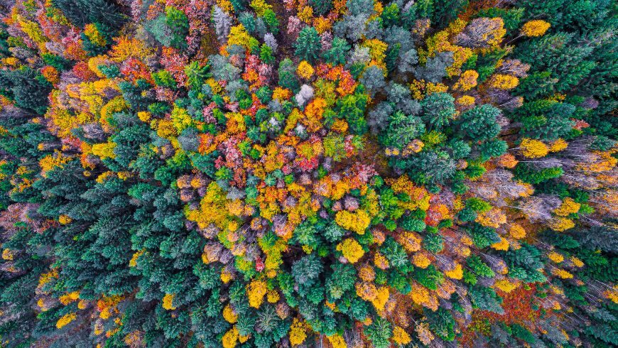
Satellites are also widely used in forest monitoring and management. Among the main tasks solved by this remote sensing method in forestry are:
- Detection and management of illegal logging
- Forest productivity analysis
- Detection and mapping of issues: the impact of pests and diseases, drying or waterlogging, etc.
- Forest fires prevention, detection, and impact mitigation.
Satellites in Climate Change Monitoring
Thanks to providing for wide and remote Earth observation, satellites are most helpful in tracking major impacts of climate change, such as weather patterns, sea level rise, global temperatures, floods, droughts, vegetation state, wildfires, and much more.
Having all this data for several years and analyzing it, experts in different industries can make smarter decisions regarding their activities to shift towards sustainable practices when performing any operations to mitigate the impact of their work on the environment and their business simultaneously.
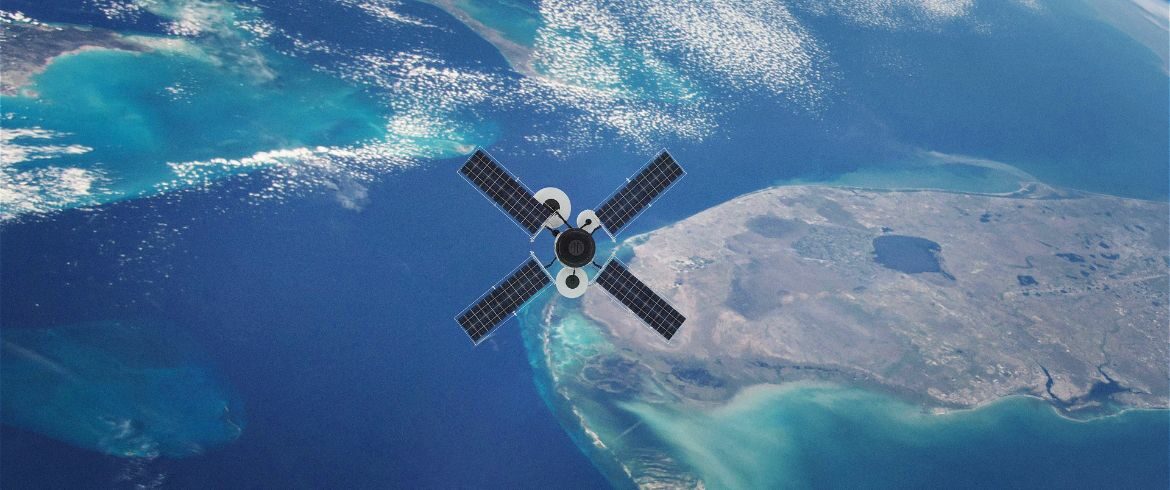
Cover image: photo via Canva PRO


